

SurveyingSolutions
High-precision aerial survey solution for terrain mapping, engineering surveying, and reality-based 3D modeling. Mechanical shutter cameras combined with RTK positioning ensure map accuracy.
Key Solution Capabilities
Provide targeted equipment capabilities and operational recommendations based on the core task requirements for this scenario.
Mechanical Shutter and RTK High-Precision Mapping
Orthophoto and 3D Point Cloud Modeling
Long-endurance, large-area operational capability
Unattended automatic battery swapping, supporting continuous field operations.
Recommended Devices
The following models are compatible with this scenario. Click to view full specifications and product brochure.
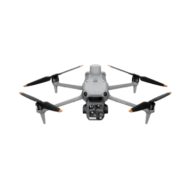
DJI Matrice 4 Series
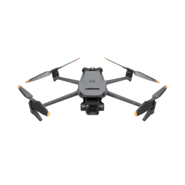
DJI Mavic 3 T/E Enterprise Series
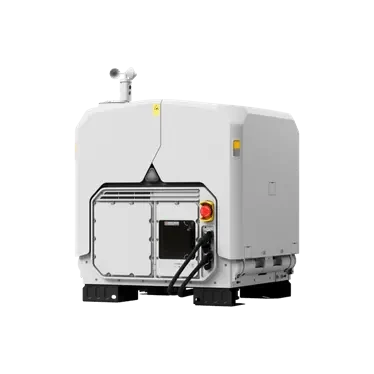
DJI Dock 4
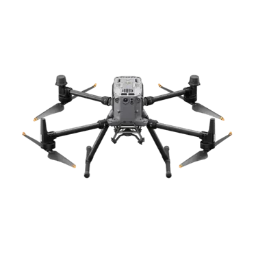
Matrice 350 RTK
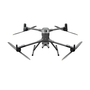
DJI Matrice 400


Need customizationSurveyingSolution?
Our technical team will provide equipment configuration, load matching, and implementation recommendations tailored to your workload scale and on-site environment.