
C-Series Survey Scanner
High-precision handheld laser scanner for professional scenarios like surveying engineering, building documentation, and as-built measurement.
Learn MoreC-Series Survey Scanner
High-precision handheld laser scanner for professional scenarios like surveying engineering, building documentation, and as-built measurement.
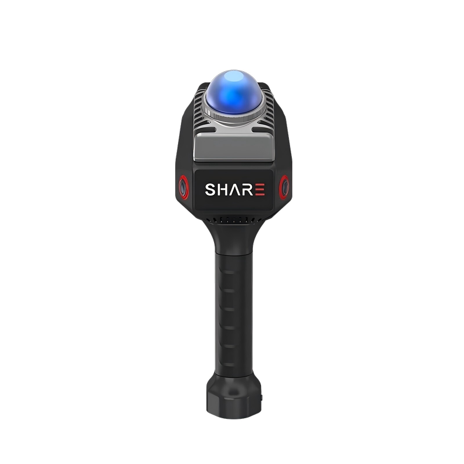
SHARE C1 PRO
Professional-grade LiDAR scanner with advanced specs for demanding surveying applications
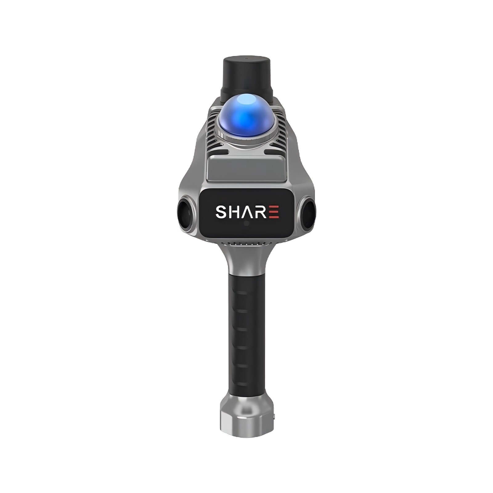
SHARE C1
Real-time 3D laser scanner, engineered for surveying and mapping.
SHARE3DCAM C10-16
Built for surveying: 16 line LiDAR, 120 meter range, professional mobile mapping system.
SHARE3DCAM C10-32
Built for surveying: 32 line LiDAR, 120 m range, 64K points/sec ultra-high point frequency
SHARE3DCAM C10-32 PRO
Flagship surveying scanner with 32 laser lines and a 300-meter ultra-long range—the top choice for professional surveying.
Core Advantages
For real-world 3D, use Sair cameras.
Efficient Collection
Handheld SLAM technology: scan while moving to capture spatial data in minutes.
High Precision
Millimeter-level ranging accuracy, professional-grade point cloud quality, meeting surveying and mapping standards.
Lightweight and easy to use
Lightweight design, easy for one person to operate without requiring a surveying background.
Full-Scenario Coverage
One solution for home measurement, surveying and mapping, and aerial remote sensing—covering multiple industries.
Professional Applications
Covers multiple industry scenarios including renovation, surveying, natural resources, and cultural tourism.
Construction
Fast room measurement, floor plan generation, and BIM modeling to boost design efficiency.
Surveying Engineering
Professional surveying scenarios including topographic, as-built, facade, and stockpile surveys
Natural Resource Survey
Forestry surveys, river mapping, and mine surveying to support digital natural resource management.
Cultural Tourism and Heritage Conservation
Ancient architecture documentation, 3D cultural relic archiving, scenic area digitization, and heritage preservation.
Product Documentation
Technical Specifications and User Manual
Firmware Download
Firmware Update, Software Tools
Technical Support
One-on-One Expert Support
Contact Zelle to get a professional 3D acquisition solution.
Our expert team provides one-on-one consultations and customizes space data collection plans for you.