
Water Conservancy and Water Resources · Water Resources
Hydrographic Survey and Reservoir Capacity Calculation
Integrated results from cross-sections to reservoir capacity
A survey vessel equipped with depth sounders and positioning devices collects cross-sectional data. Combined with RTK control points and post-processing software, this generates an underwater terrain model to calculate reservoir capacity by water level tiers.
BackWater Conservancy and Water ResourcesAll Solutions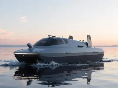
What's included in this plan?
The solution configuration maps to specific brands and product pages available on the site, with options to scale features up or down based on project size.
5{0} product lines /3Applicable use cases
Use Cases
Deliverables
- Control point layoutControl Point and Checkpoint Layout and Survey Records
- Section Results TableCross-Section Results Table by Mileage
- Storage Capacity CurveCalibration of Stage-Storage Curve and Result Table
- Cross-section re-survey and accuracy verificationCross-section re-survey data and accuracy verification records
- Technical ReportTechnical Report: Methodology, Data, and Findings
From a single point to an entire area
Progress in four stages: on-site confirmation, list configuration, implementation integration, and training handover. Maintain records for each stage.
4implementation phase
STEP01
On-site Requirement Confirmation
Verify the number and location of points for reservoir capacity review, river cross-section surveying, sedimentation analysis, etc., against existing systems.
STEP02
Inventory and Configuration
Output a table listing model numbers, quantities, installation locations, and interface mappings to clearly identify add-ons and optional configurations.
STEP03
Implementation and Integration
Complete installation, configuration, and system integration per the "Deliverables" section, retaining all debug logs.
STEP04
Training and Handover
On-site training and daily maintenance, including account handover, configuration documentation, and spare parts list.
Water Conservancy and Water ResourcesRest of the industry2package
Other solutions within the same industry can be combined based on project scope.
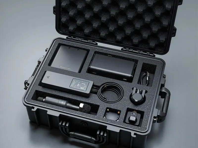
River and Reservoir Patrol
The unmanned surface vehicle (USV) follows a preset route to collect water depth and underwater topography data, while the drone simultaneously captures imagery of the shoreline and reservoir area. Both imagery and trajectory data are archived by date for easy comparison.
5{0} product lines ·5DeliverablesView plan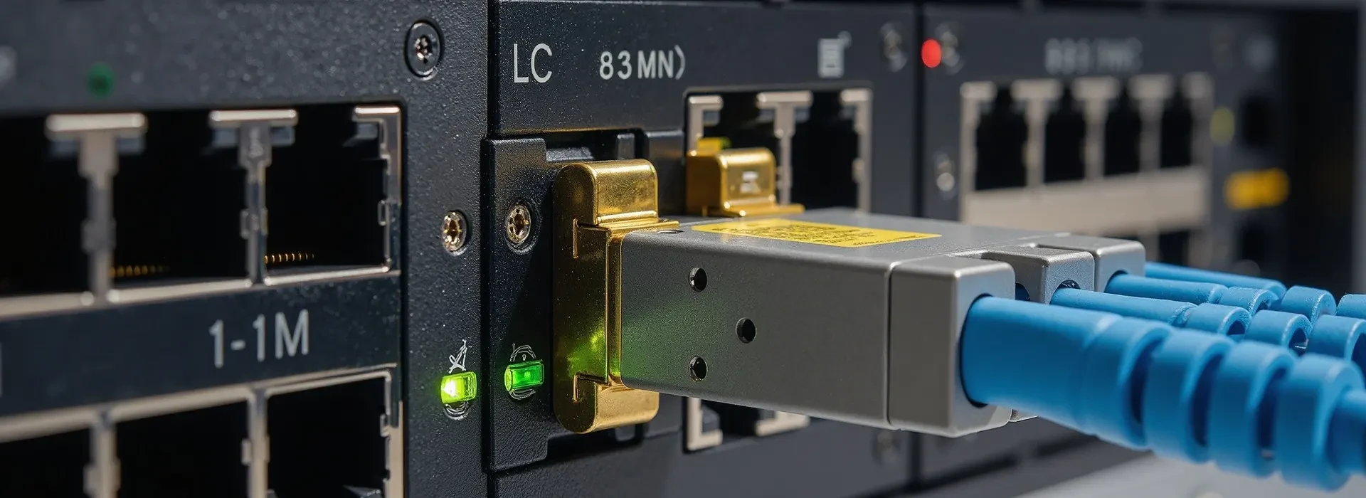
Water Dispatch Communication
Deploy optical transmission and wireless access along pipelines and canal systems; equip pump stations and sluice gates with telephones and intercoms; unify command at the dispatch center via large displays and video conferencing.
5{0} product lines ·5DeliverablesView planNeed a cross-industry portfolio? ViewAll Solutionsor directlyContact Us。
Similar Project Cases
andWater Conservancy and Water ResourcesView delivered projects in your industry, including on-site scenarios, equipment used, and implementation results.
