Huayingtech ·Water Resources
Water Conservancy and Water ResourcesIndustry Solutions
Measure water surface, underwater, and onshore together.
Hydraulic project deliverables typically consist of a map and a dataset: underwater topography, shoreline changes, and water level-discharge data. Unmanned surface vehicles cover surface and underwater areas; drones handle shorelines and reservoir zones; RTK systems and software integrate the data into actionable results.
3 domain
Underwater / Surface / Shoreline
2 Class
Measurement Ship and Underwater Robot
1 sets
End-to-end workflow from fieldwork to final mapping
Industry Challenges
- · Rapid terrain changes in reservoir areas and river channels result in significant discrepancies between historical drawings and current conditions.
- · Access to shallow water and reed areas is restricted; conventional vessel surveys are limited.
- · Hydrological data and surveying results are managed by different units, leading to time-consuming consolidation.
Solution Composition
Proposal01 · Automated water surface survey: complete shoreline capture in a single pass.
River and Reservoir Patrol
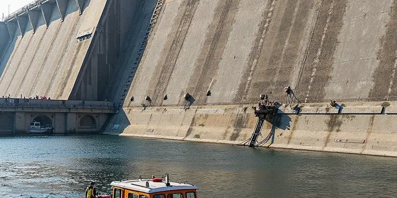
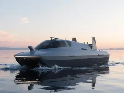
Autonomous surface vessels follow pre-set routes to collect bathymetry and underwater topography data, while drones simultaneously capture shoreline and reservoir imagery. Both images and trajectories are archived by date for easy comparison.
Use Cases:Small and medium-sized reservoirs, urban waterways, and drinking water source areas
Products involved:Huace Unmanned Surface Vehicles, DJI Industry Drones, DJI Dock & Unattended Solutions, Subsea Robotics, and Inspection Data Analysis Software
Deliverables:Flight path and survey area zoning, vessel-mounted equipment calibration, output format and coordinate system, image and trajectory comparison report, reinspection cycle recommendations
Proposal02 · Integrated results from cross-sections to reservoir capacity
Hydrographic Surveying and Reservoir Capacity Calculation
A survey vessel equipped with depth sounding and positioning systems collects cross-sectional data. Combined with RTK control points and post-processing software, this generates an underwater terrain model for reservoir volume calculations at different water levels.
Use Cases:Reservoir capacity verification, river cross-section surveying, and sedimentation analysis
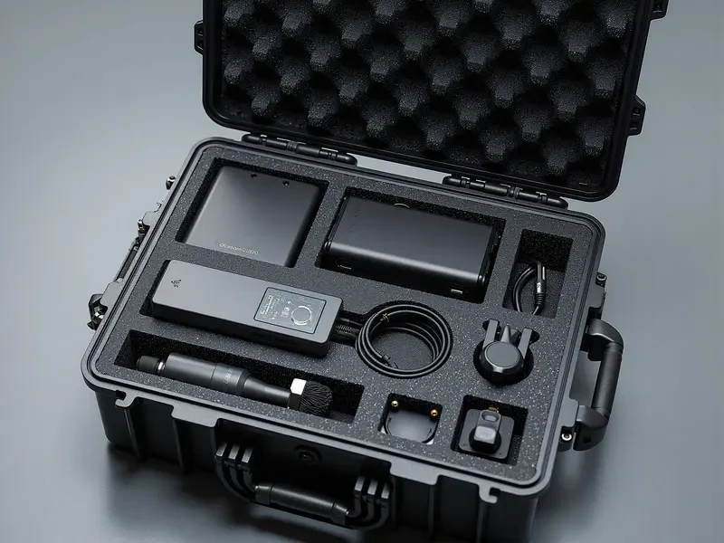
Products involved:HuaCe Unmanned Surface Vessels, Handheld Surveying Instruments, Hydrological Survey Products, Surveying and Modeling Software, and Subsea Underwater Robots
Deliverables:Control Point Layout, Cross-Section Results Table, Storage Curve, Cross-Section Re-survey and Accuracy Verification, Technical Report
Proposal03 · Connect pump stations, sluice stations, and the dispatch center.
Water Dispatch Communication
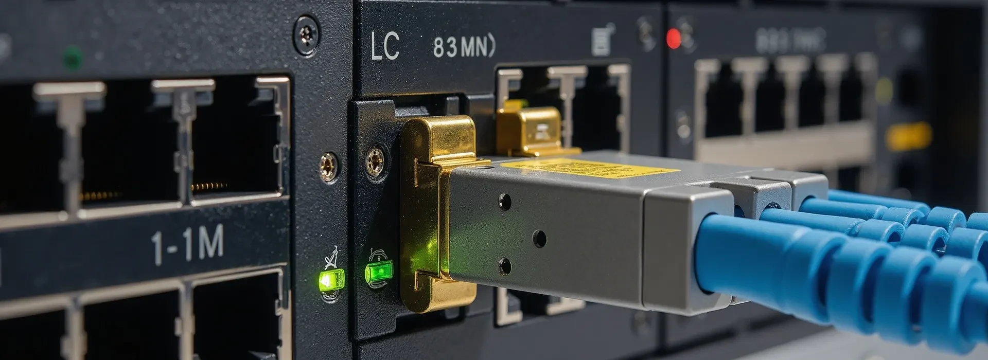
Deploy optical transmission and wireless access along pipelines and canal systems. Equip pump stations and lock gates with phones and two-way radios. Unify monitoring at the dispatch center via large screens and video conferencing.
Use Cases:Water Dispatch Center, Pump Stations & Sluice Gates, Wastewater Treatment Plants
Products involved:Huawei Transmission, Ruijie Networks, Ruijie Visual IoT, Dingshin Communication, Huawei Video Conferencing
Deliverables:Link and bandwidth planning, site device configuration, pump station video and IoT integration, dispatch console joint debugging, monitoring and alarm rules
Support & Services
Waterfront Operation Plan & Reporting · Vessel & Payload Configuration · Data Processing & Deliverable Acceptance · Annual Re-survey
Huaying Technology Co., Ltd. · Enterprise Hardware & Security Solutions Provider
Main Line 010-8298-1888 · Customer Service 400-606-8166 · Building 7, No. 2 Guanghua Road, Chaoyang District, Beijing
Specifications and configurations in this brochure are subject to the selection list and final contract. Please consult sales for pricing.