

Industry Drones
Designed for professional scenarios such as inspection, surveying, public safety, and emergency response. Includes Matrice and Mavic enterprise drones, DJI Dock unattended platforms, and a comprehensive ecosystem of payloads, software services, developer tools, and accessories.
Industry Drones
Designed for professional scenarios such as inspection, surveying, public safety, and emergency response. Includes Matrice and Mavic enterprise drones, DJI Dock unattended platforms, and a comprehensive ecosystem of payloads, software services, developer tools, and accessories.
 Industry Drones
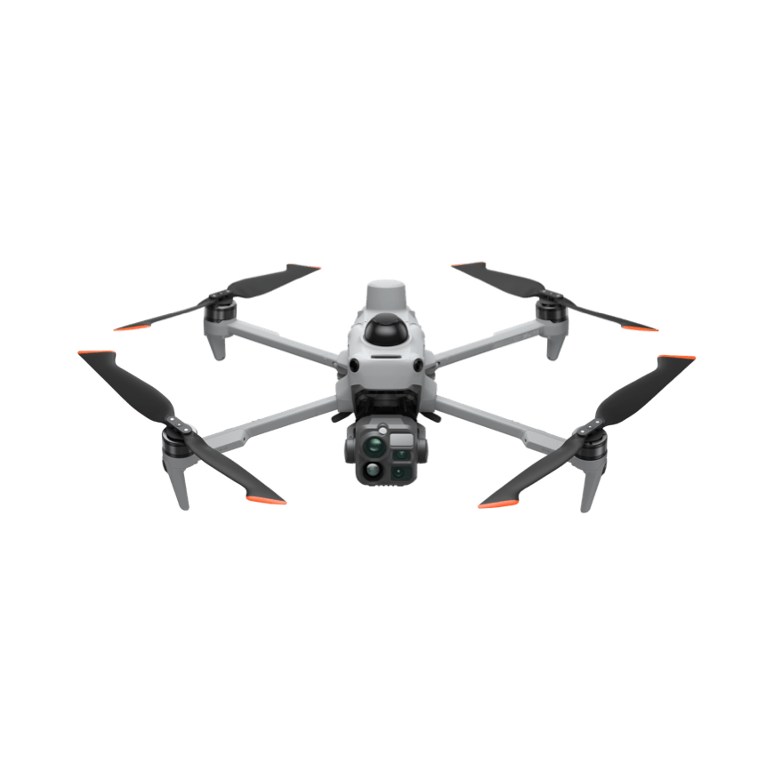
DJI Matrice 5T
A lightweight industrial drone for all-scenario operations, integrating LiDAR, millimeter-wave radar, and full-color omnidirectional visual sensing. Features IP55 protection and 59-minute flight time. Native 1K thermal imaging with infrared super-resolution delivers clear imagery day or night, supporting emergency response, power facility inspections, surveying, and more. Open onboard computing power and Pilot 2 plugin expansion are supported. Power Inspection: Equipped with wide-angle, medium-telephoto, and telephoto cameras to autonomously follow transmission line routes. The telephoto camera captures details of insulators, hardware, and conductors from a safe distance, while thermal imaging simultaneously detects abnormal temperature rises at connection points and displays real-time thermal data. A horizontal scanning LiDAR and millimeter-wave radar assist with obstacle avoidance in areas with dense towers and lines. With 59-minute flight time and 45-km range, the drone covers long line sections efficiently, reducing mid-flight recharging stops. Emergency Response: Rapid takeoff upon arrival. Infrared super-resolution and black-and-white night vision aid in locating personnel and heat sources during low-light conditions. Laser ranging measures target distance and position, while image transmission relaying extends coverage in obstructed environments like mountains and canyons. IP55 protection and 12 m/s wind resistance enable operations in complex weather such as rain, snow, and sandstorms. Live footage is synchronized via Pilot 2 to command staff for situational awareness and resource deployment.
 Industry Drones
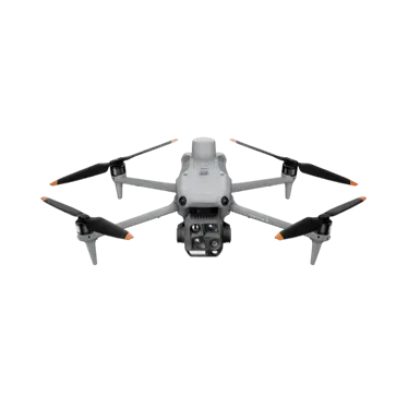
DJI Matrice 4 Series
Industry-grade compact smart multi-rotor drone, available in M4T and M4E models. Features intelligent inspection, laser marking, and measurement capabilities for power line patrol, surveying & mapping, and emergency response scenarios.
 Industry Drones
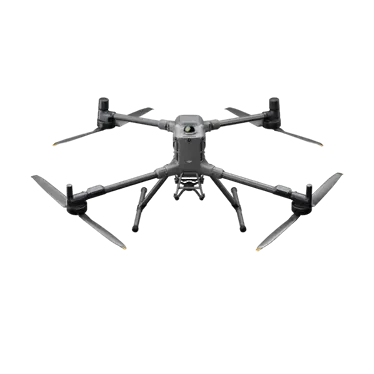
DJI Matrice 400
Industry-grade flagship flight platform with integrated LiDAR and millimeter-wave radar for wire-level obstacle avoidance, aerial image transmission relay support, and optimized for long-endurance heavy-load operations.
 Industry Drones
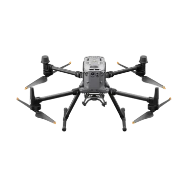
Matrice 350 RTK
DJI's flagship enterprise aerial platform, featuring a new transmission system and high-efficiency battery. Designed for heavy payloads and extensive expansion, it is ideal for surveying, inspection, and public safety operations.
 Industry Drones
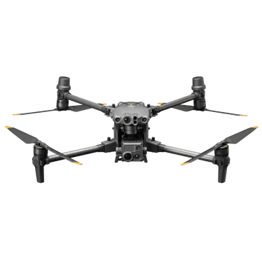
Jingwei M30 Series
A lightweight, portable industrial drone with multi-sensor integration, equipped with an Industrial Remote Controller and Pilot 2. Supports unattended operations when paired with司空 2 cloud platform and DJI Dock.
 Industry Drones
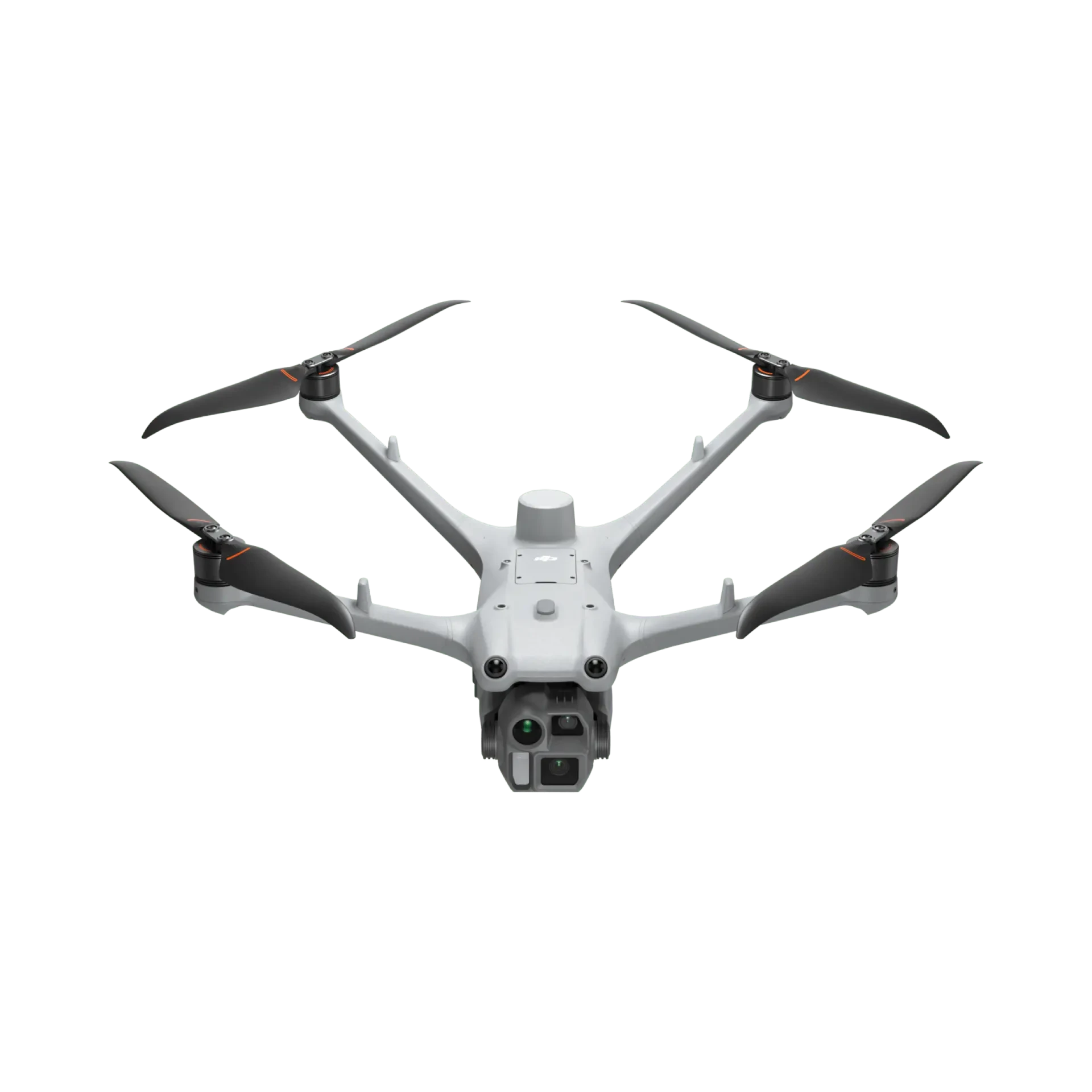
DJI Matrice 4D
An industry flight platform built specifically for DJI Dock 3, which can also operate independently with the DJI RC Plus 2 Industry Edition. Equipped with wide-angle, medium-telephoto, and telephoto triple cameras plus a laser rangefinder module, it supports high-precision mapping (5-axis oblique photography, 3-axis orthophoto photography, real-time terrain following) and detailed surface inspections. Flight endurance reaches up to 55 minutes in forward flight, with an IP55 protection rating, making it ideal for unattended operations and vehicle-mounted mobile deployments.
 Industry Drones
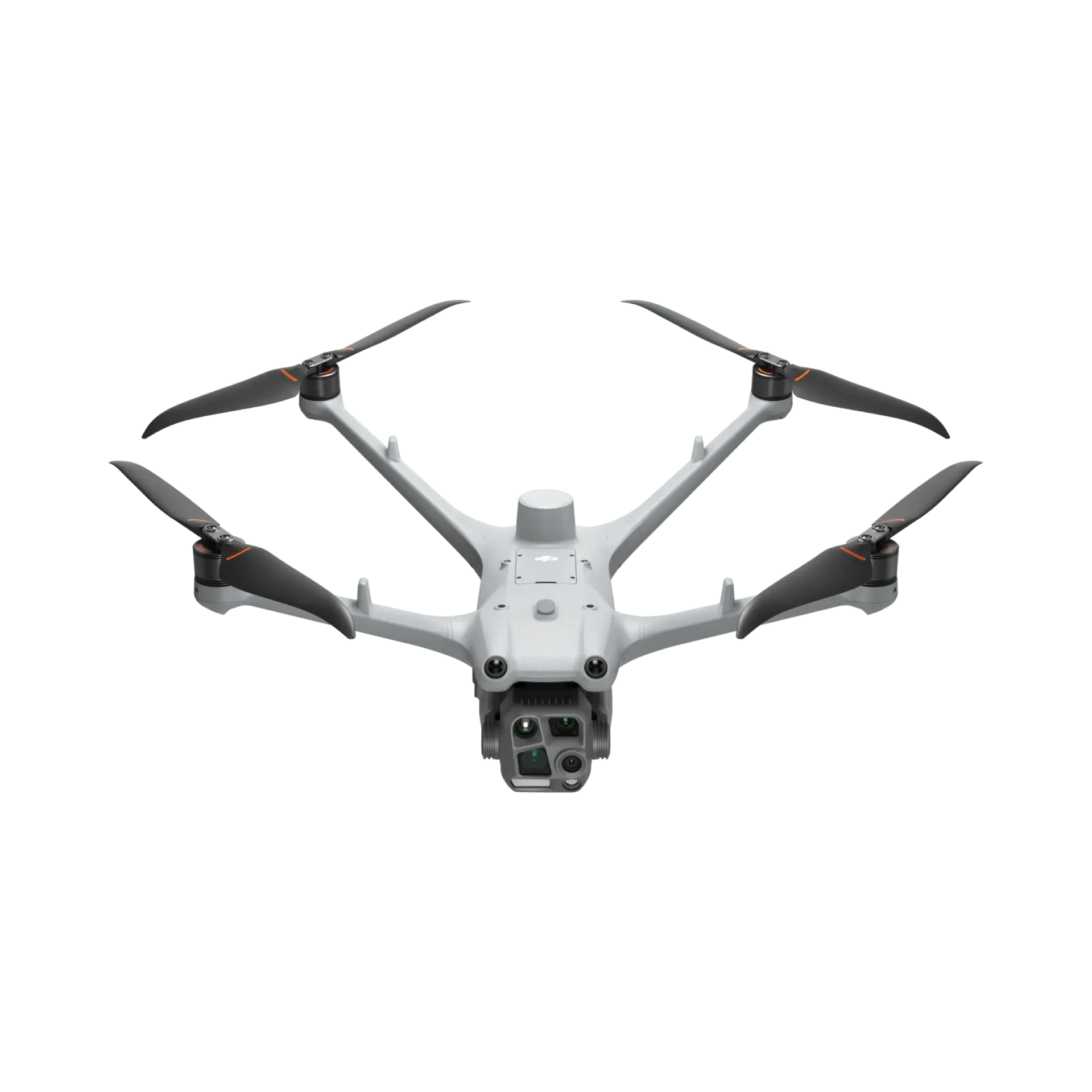
DJI Matrice 4TD
An industry flight platform designed specifically for DJI Dock 3, which can also operate independently with the DJI RC Plus 2 Industry Edition controller. Beyond the wide-angle, medium-telephoto, and telephoto cameras plus the laser rangefinder module, it features an additional thermal imaging camera and a near-infrared fill light (illuminating up to 100 meters), supporting infrared super-resolution and black-and-white night vision. Ideal for night inspections, search and rescue, power line operations, and more. Max flight endurance is 55 minutes, with an IP55 protection rating.
 Industry Drones
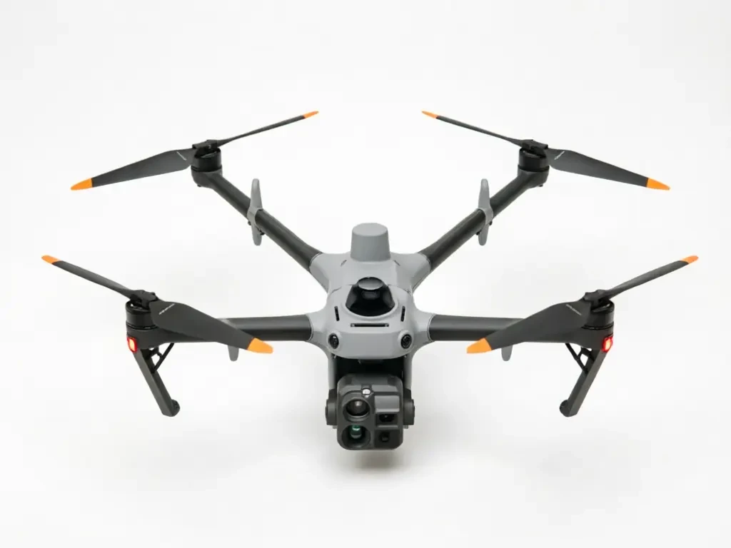
DJI Matrice 5TD
The next-generation unmanned flight platform designed specifically for DJI Dock 4. It integrates wide-angle and thermal cameras, along with millimeter-wave and LiDAR sensors. The onboard AI can detect 17 types of targets and supports multiple payload expansions. With a maximum flight time of 59 minutes and a range of up to 53 km, the aircraft features an IP55 protection rating. Paired with the Dock's 25-second automatic battery swap, it enables all-weather, continuous operations for power inspection, emergency response, and public safety applications.
 Industry Drones
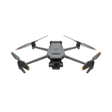
DJI Mavic 3 T/E Enterprise Series
Compact and portable industry-grade mapping and inspection drone. The Mavic 3E features a mechanical shutter and RTK module; the thermal imaging version is ideal for firefighting, search and rescue, and night operations.
 Industry Drones
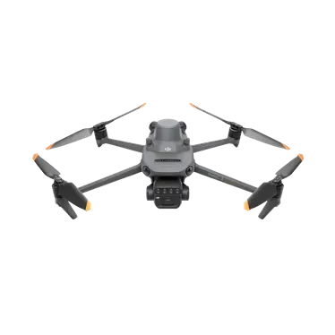
DJI Mavic 3M Multispectral Edition
Integrates a visible-light camera and multispectral camera in one unit, capturing visible imagery and G/R/RE/NIR multispectral data in a single flight. Clearly reveals crop growth patterns and field variations. Compact, foldable design with centimeter-level RTK positioning and microsecond-level time synchronization for aerial surveying and precision agriculture in farmland and orchards.
 Industry Drones
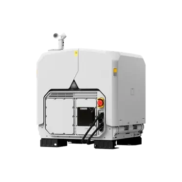
DJI Dock 4
Unattended platform with automatic battery swapping, powered by the proprietary Matrice 5TD drone. Resume operations in under 25 seconds during swaps; operate across a wide temperature range from -40°C to 50°C. Equipped with the DJI O4 Ground Station and DJI FlightHub 3 for high-frequency emergency response and long-duration automated inspections.
 Industry Drones
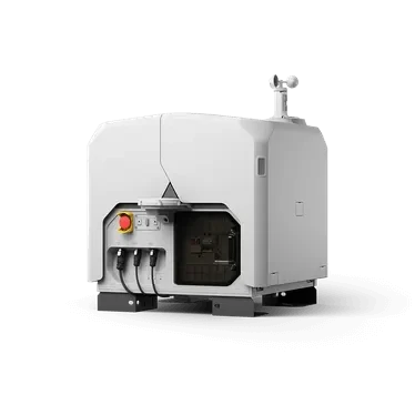
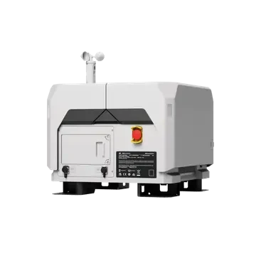
DJI Dock 3
Unattended operation platform equipped with a dedicated Matrice 4D/4TD drone, supporting vehicle-mounted mobile deployment for 24/7 automated inspection.
 Industry Drones
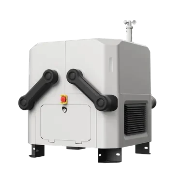
DJI Dock 2
Lightweight compact drone dock with dedicated Matrice 3D/3TD, easy deployment and cloud intelligence to lower the barrier for unattended operations.
 Industry Drones
DJI Dock 1
DJI's first unmanned ground station, compatible with the Matrice 30 series drones. Built for all-weather reliability, it supports fully autonomous operations around the clock. Its highly integrated design enables rapid deployment, while DJI FlightHub 2 allows you to plan and execute missions remotely.
 Load Series
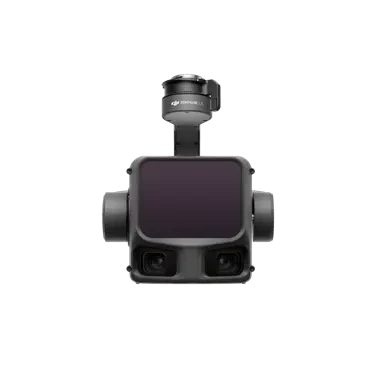
Zenmuse L3
Next-generation airborne high-precision mapping LiDAR system equipped with a 1535 nm long-range LiDAR featuring strong penetration capability. Integrated with dual 100-megapixel visible-light cameras and a high-precision pose system, it works seamlessly with the D-RTK 3 multi-functional base station and DJI Terra to deliver a complete aerial survey workflow from data acquisition to post-processing.
 Load Series
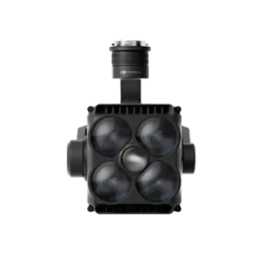
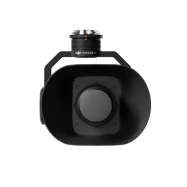
Zenmuse S1
Industry-grade large UAV spotlight payload featuring LEP laser white light technology. Delivers high brightness and long-range illumination with multiple lighting modes, designed for night operations in public safety, emergency rescue, and inspection scenarios.
 Load Series
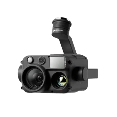
Zenmuse V1
High-load speaker system for large-scale industry drones. Delivers high-volume, long-range audio with real-time voice broadcast, text-to-speech, and pre-recorded audio playback modes. Ideal for public safety and emergency response operations.
 Load Series
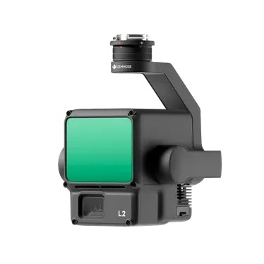
Zenmuse H30 Series
All-weather multi-spectral flagship payload integrating wide-angle, zoom, thermal imaging cameras, laser rangefinder, and NIR illumination modules. Breaks day/night vision limits for public safety, energy inspection, water conservancy, and forestry operations.
 Load Series
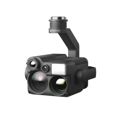
Zenmuse L2
The airborne high-precision mapping LiDAR integrates a frame-based LiDAR, a self-developed high-precision IMU, and 4/3 CMOS visible-light mapping cameras. With DJI Terra, it enables 3D data acquisition and high-precision post-processing.
 Load Series
Zenmuse H20N
The Starlight Hybrid Sensor payload combines a hybrid zoom thermal camera, wide-angle camera, zoom camera, and laser rangefinder. Paired with the Matrice 300 RTK, it enables all-weather operations.
 Load Series
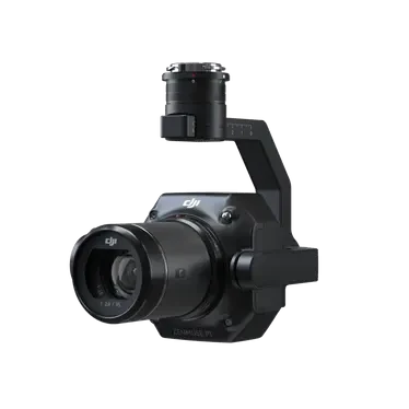
Zenmuse P1
The aerial survey payload integrates a full-frame image sensor with a three-axis gimbal and supports multiple prime lenses. Paired with the Matrice 300 RTK and DJI Terra software, it delivers a high-precision, all-in-one aerial survey solution.
 Software Services
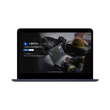
DJI FlightHub 2
DJI SkyCity 2 is a one-stop cloud-based drone management platform (public cloud version). It supports remote control with virtual cockpits, intelligent mission planning, multi-type route management, and open integration. Powered by AI algorithms and large language models, the platform delivers an intelligent assistant, data analytics, and application capabilities to build an integrated, visible, and controllable unmanned operation system for industries such as security, emergency response, surveying & mapping, and inspection.
 Software Services
DJI FlightHub 2 Private Edition
Private drone cloud platform integration solution that combines the full functionality of the public cloud version with on-premises deployment capabilities. Supports multi-form and cluster deployments, domestic hardware/software compatibility, flexible adaptation to diverse scenarios, and ensures data security and control. Features modular architecture, secondary development, and rapid integration to help users build a dedicated drone management platform.
 Software Services
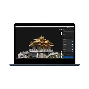
DJI Terra
A 3D modeling software integrating next-generation reconstruction technology. It supports 3D Gaussian Splatting, visible light 2D/3D reconstruction, multispectral reconstruction, cluster-based reconstruction, and DJI LiDAR data processing for city-scale large-scene reconstruction. Paired with DJI drones, it delivers an integrated hardware-and-software aerial survey solution covering data collection, processing, and application.
 Software Services
DJI Terra
Smart 3D mesh and point cloud editing software. Features include point cloud smoothing, denoising, decimation, and classification. One-click category adjustment with automatic terrain generation. Detects floating objects, holes, and vehicles in 3D models; fixes mesh errors and generates realistic textures in one click. Seamlessly integrates with Zhitu. Exports to GIS, CAD, and other tools, covering the full workflow from aerial surveying and modeling to repair and sharing.
 Software Services
DJI Fly
One-stop aerial transport cloud platform compatible with DJI FlyCart 30 and DJI FlyCart 100. Enables automatic route generation based on DEM elevation data, remote mission planning and device allocation, pre-flight safety checks, and automated task execution. Centralizes team resource management and equipment maintenance, supports real-time multi-device synchronization, and provides multi-dimensional data analytics.
 Developer Technology
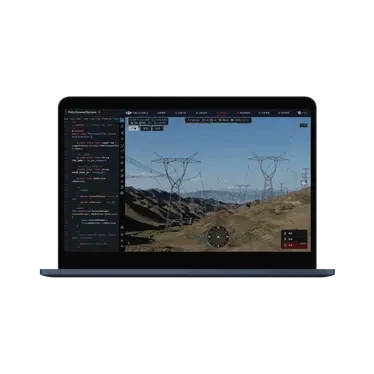
DJI Cloud API 2
AI-powered enterprise-grade airport application development kit for business developers and industry solution partners. Delivers a full-stack capability including an app runtime and device control foundation, backend SDKs, standalone frontend components, and AI coding tools. Compatible with mainstream AI coding tools and large language models; supports natural language flight scheduling and device simulation debugging. Includes online documentation and open-source demos to accelerate DJI Airport and drone integration into business systems.
 Developer Technology
DJI Cloud API
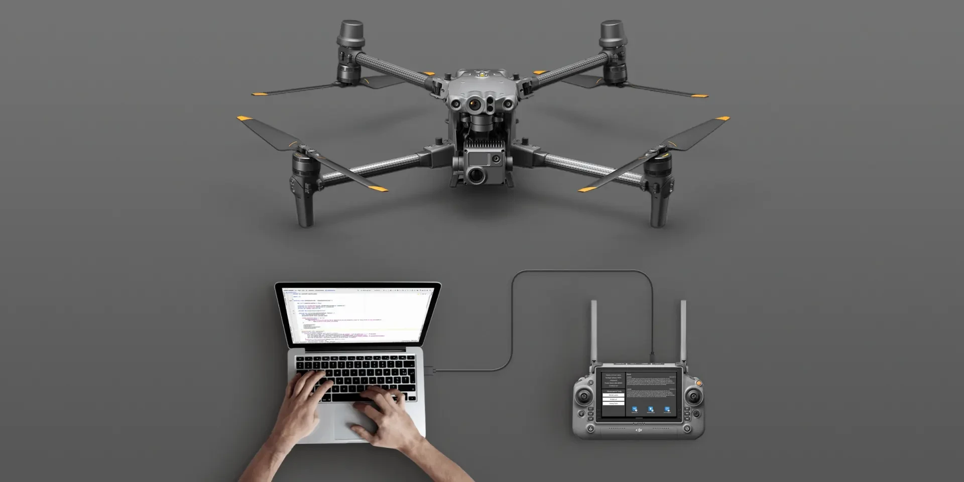
Cloud integration solution for third-party platforms. Abstracts drone business functions using industry-standard protocols like MQTT, HTTPS, and WebSocket, eliminating the need to develop a separate app. Connect drones to third-party platforms via DJI Pilot 2 or Dock. Works regardless of network deployment; simply ensure DJI Pilot 2 or Dock can access the third-party platform.
 Developer Technology
DJI Mobile SDK
Mobile SDK V5 for the Drone Industry: A mobile app development kit that offers simple, easy-to-use hardware control and software service APIs. It includes fully open-source, production-grade sample code and comprehensive tutorials for Android and other mobile platforms, empowering developers to build industry-specific mobile applications.
 Developer Technology
DJI Payload SDK
Payload SDK V3 helps developers integrate specialized payloads such as computing modules, sensors, and mechanical components with DJI enterprise flight platforms to expand drone capabilities. Supports Linux and RTOS development, compatible with Matrice 400, Matrice 4D/4TD, Matrice 4E/4T, Matrice 30 series, and DJI FlyCart 30 platforms.
 Accessories
DJI AP100 Parachute
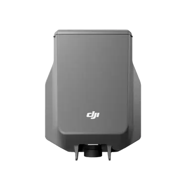
Parachute compatible with Matrice 400, weighing approximately 935 grams. Features independent power supply and full-link redundancy for automatic or manual deployment, completing motor stop and chute opening within 600 milliseconds to reduce ground risk during flight anomalies.
 Accessories
DJI O4 Ground Station
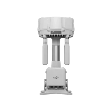
Industry-grade ground station integrating a 12 antenna omnidirectional array and high-performance RF components, with support for multi-band intelligent switching. New gateway mode enables direct connection to DJI FlightHub 2; relay mode covers network-free blind spots, enabling 24/7 unattended operation.
AccessoriesDJI FlightHub 2 All-in-One
DJI FlightHub 2 Private Edition All-in-One, ready to use out of the box. Deeply integrated hardware and software, preloaded with DJI FlightHub 2 Private Edition. Powered by Intel Core Ultra 7 processor and NVIDIA RTX 2000 Ada graphics for simpler deployment and operations.
 Accessories
DJI Matrice 4 Obstacle Detection Radar
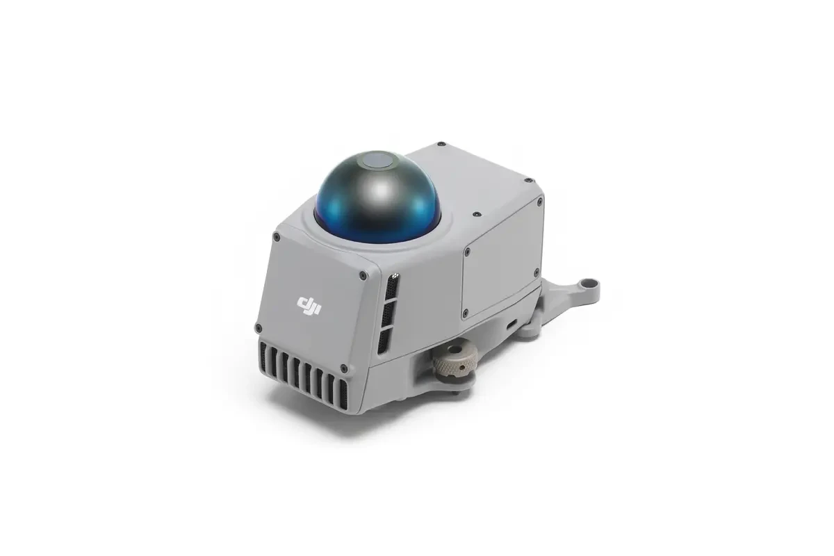
Combines 360° LiDAR with a 5-direction millimeter-wave radar for auxiliary positioning in low-light conditions; compatible with Matrice 4D and Matrice 4 series.
 Accessories
SmartCalc 3
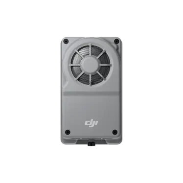
A lightweight onboard computing module weighing approximately 120 grams and delivering up to 100 TOPS of compute power mounts directly to the Matrice 400. It enables real-time control of flight, gimbal, and camera systems, accelerating the development of edge applications for energy inspection, public safety, and more.
 Accessories
D-RTK 3 Multi-function Base Station
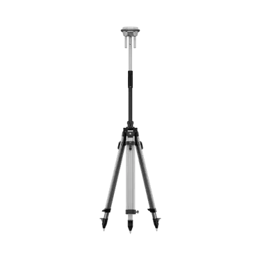
Multi-function base station integrating high-performance antennas and receiver modules. It tracks and processes data from global mainstream satellite navigation systems and supports multiple data transmission links. Functions as a base station for centimeter-level positioning, acts as a repeater to extend operational range, and supports rover mode for high-precision aerial surveying.
 Accessories
DJI SkyPort V2
The DJI Enterprise Flight Platform's payload mounting interface supports quick-release attachment of third-party payloads. With the DJI Payload SDK, you can develop power supply, communication, and data integration for these payloads. Refer to official DJI technical documentation for specific compatibility and development details.
 Accessories
DJI X-Port
DJI FlightHub 2 gimbal load extension component for mounting third-party gimbals and specialized payloads, with development integration via DJI Payload SDK. Specific compatibility and development details are subject to official DJI technical documentation.
Application Scenario Solutions
Recommendations for equipment selection, load configuration, and operational workflows tailored to typical job scenarios.

Power Inspection
Enhance inspection efficiency and operational safety for transmission lines, substations, and distribution equipment with precision inspections using infrared thermography, laser rangefinding, and autonomous flight paths.
- Infrared Thermometry and Overheating Defect Identification
- Wire-level obstacle avoidance and laser ranging
- RTK Centimeter-Level Autonomous Inspection Flight Path
- Unattended automatic battery swapping, supporting continuous field operations.

Agricultural Plant Protection
Complete solution for agricultural drone spraying, spreading, and orchard lifting. Covers diverse terrains including large fields, hills, and orchards, supporting fully automated operations and precise variable-rate application.
- Multi-Mode: Spray, Broadcast, and Aerial Transport
- RTK Autonomous Operation and Breakpoint Resume Spraying
- Fast charging boosts continuous operation efficiency
- Continuous drone operations with rapid battery swaps to minimize turnaround downtime.

Surveying and Mapping
High-precision aerial survey solution for terrain mapping, engineering surveying, and real-world 3D modeling. Mechanical shutter camera combined with RTK positioning ensures mapping accuracy.
- Mechanical Shutter and RTK High-Precision Mapping
- Orthophoto and 3D Point Cloud Modeling
- Long-endurance, large-area operational capability
- Unattended automatic battery swapping, supporting continuous field operations.

Emergency Rescue
Rapid response solution for natural disasters, accident rescue, and night search-and-rescue operations. Infrared thermal imaging, long-range video transmission, and aerial delivery enhance real-time situational awareness on-site.
- Infrared Thermal Imaging Night Search
- Long-Range FPV and Airborne Relay
- Material Delivery and Emergency Lighting
- Drone Monitoring Platform for Mobile Deployment
Need help selecting a DJI device?
Our technical team will provide equipment selection, solution design, and bulk supply support tailored to your use case and budget.